Satellite images reveal possible reconstruction of Iranian nuclear facilities
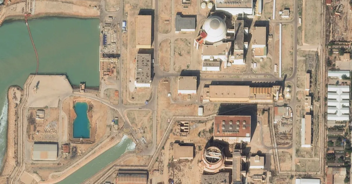
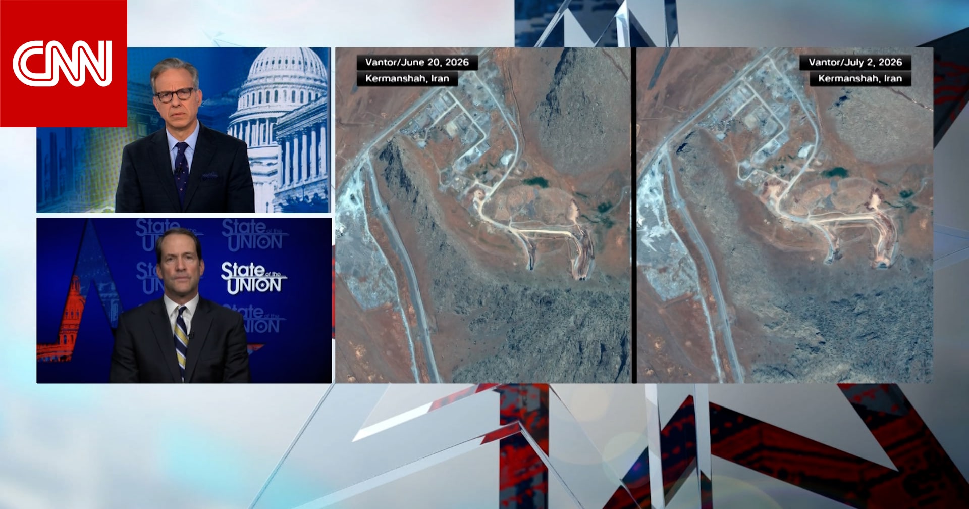
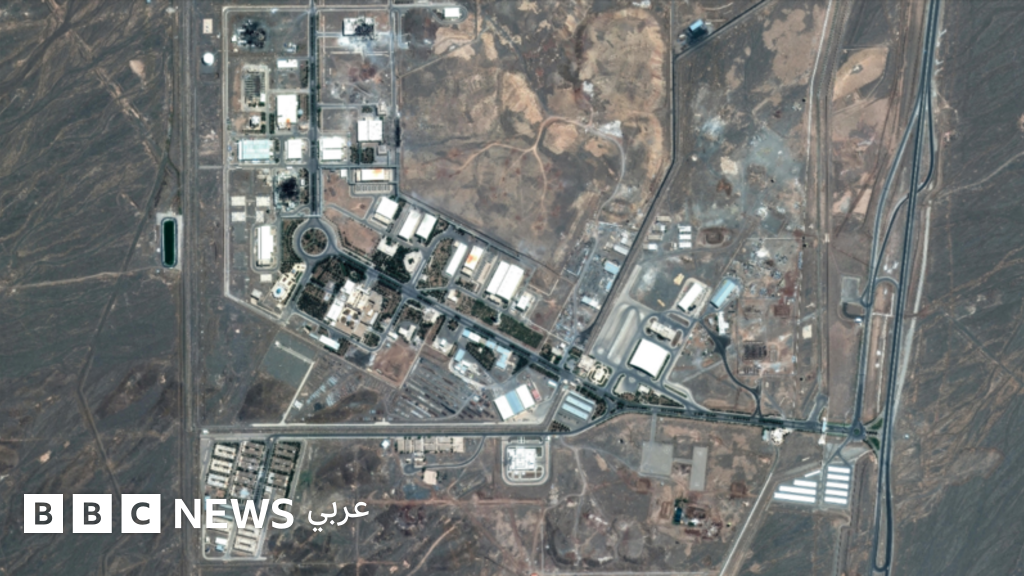
Satellite images obtained by CNN from Vantor have revealed indications that Iran may be trying to rebuild some of its nuclear facilities, after new activity was observed at several nuclear and missile sites in recent months, raising questions about Tehran's adherence to the memorandum of understanding it signed with the United States.
For weeks, satellite imagery providers blocked available images across the region at the request of the U.S. government.
CNN was able to analyze the images after these restrictions were briefly lifted, but some restrictions have already been reinstated with the resumption of U.S. military operations.
LIVE
An error occurred. Please try again later
Activity at the Parchin military complex
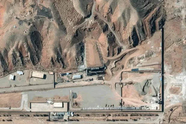
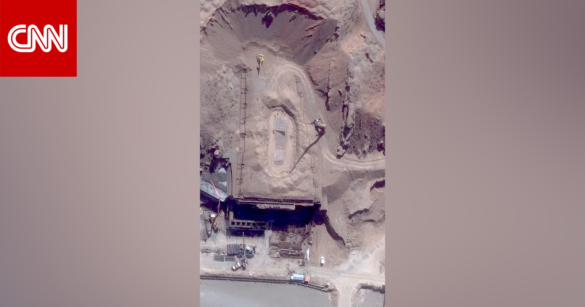
CNN observed notable activity at a site within the Parchin military complex, known as 'Taleghan 2', where experts believe explosives used in nuclear weapons are stored.
An analysis conducted by CNN in collaboration with the Institute for Science and International Security showed repair and reconstruction work on several craters resulting from strikes carried out by the United States and Israel, based on images taken on June 22 and July 7.
At 'Peak Ax' mountain, a suspected underground nuclear facility, images taken on June 21 showed vehicles entering and exiting tunnels, at a time when the memorandum of understanding was still in effect.
CNN said it contacted both the Iranian and U.S. governments for comment on these findings. A Pentagon official told CNN that the department would not discuss operational circumstances or intelligence matters due to operational security considerations.
Original source: Asharq News


Comments (0)
Be the first to comment.