Discoveries at Hilyat al-Dawadmi - Dr. Abdulaziz Al-Jarallah

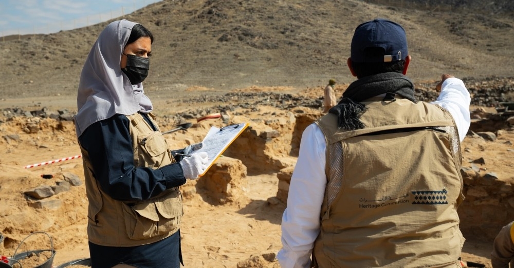
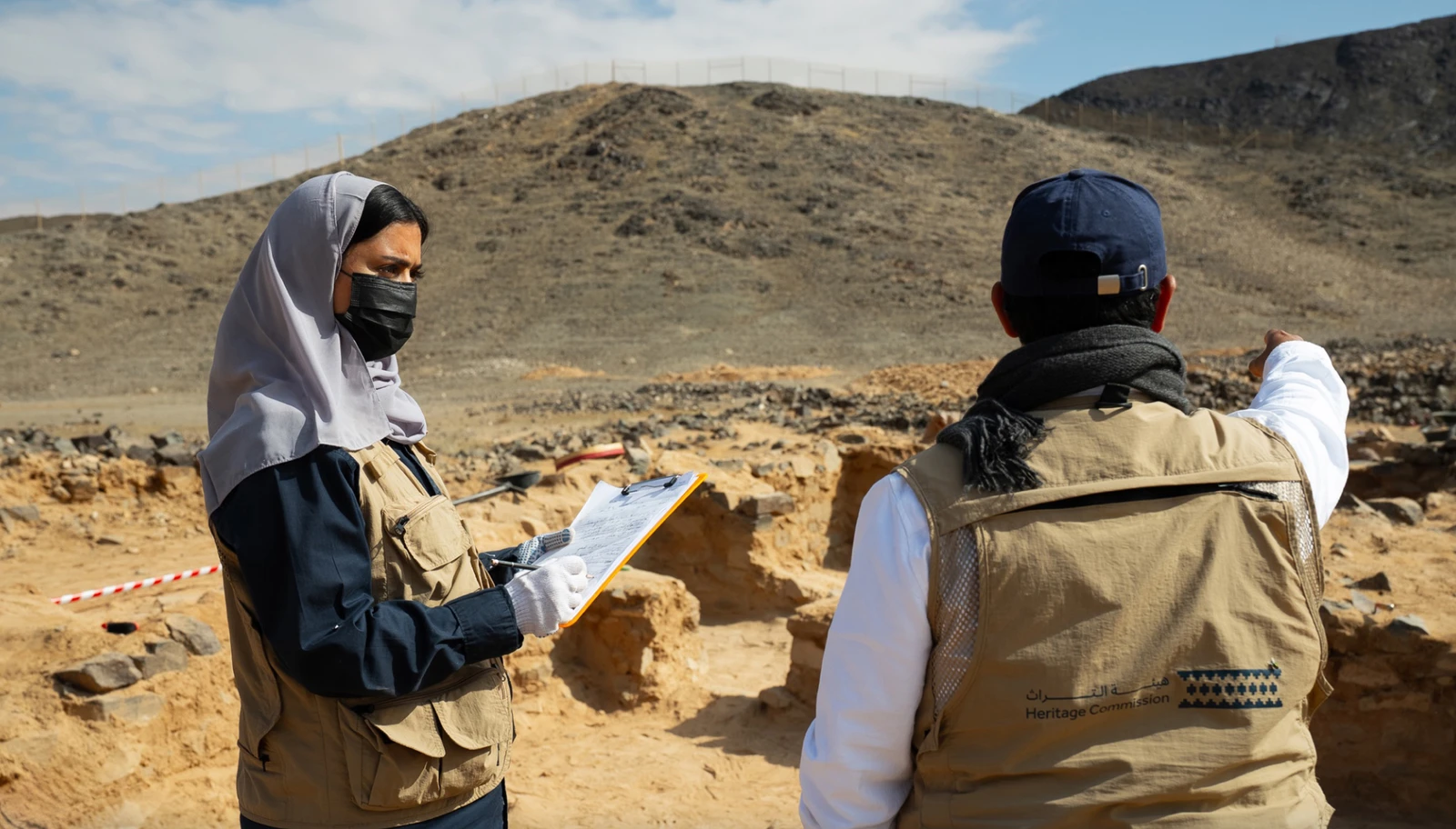
The Heritage Authority announced on July 14, 2026, the results of archaeological excavations at the Hilyat archaeological site in Dawadmi Governorate, Riyadh Region, as part of the fourth season. The Hilyat archaeological site, an ancient mining settlement, is located about 110 km northwest of Dawadmi Governorate and is registered in the National Antiquities Register in the Riyadh Region.
It dates back to the Umayyad period and is mentioned in early historical sources as "Ma'dan al-Najadi," named after its owners, the sons of Najad ibn Musa ibn Sa'd ibn Abi Waqqas (may God be pleased with him). Hilyat is also one of the sites with an integrated infrastructure, highlighting the cultural role of the Arabian Peninsula during the Umayyad period.
Jabal Hilyat is located at the eastern ends of the Arabian Shield sector and at the beginning of the formation of the sedimentary sector, in a large pastoral area that was part of the protected grazing lands for charity camels during the era of Caliph Umar ibn al-Khattab (may God be pleased with him) in the Hima Dharayya, located south of Al-Qassim Region, within a historical cultural area dating back to the early Islamic period.
The boundaries of the vast Jabal Hilyat area are as follows:
From the west: the historical city of Dharayya from the early Islamic period, where the Heritage Authority is conducting excavations at the ancient city; then Al-Areeq pastoral sand dunes, flanked on the west by the largest and most famous valley in the region, Wadi al-Jarir al-Kabir, the main tributary from the highlands of Dawadmi and Afif, flowing into Wadi al-Rimmah, the kingdom’s largest valley; then, further west, the Islamic archaeological city of Al-Rabadhah, which began as a station on the Darb Zubaydah route to Medina via Al-Hunaykiyyah, followed by the Al-Suwaydriyah archaeological site.
From the east: sand accumulations: Nafud al-Sir sands and Nafud Areeq al-Buldan.
From the south: Dawadmi's archaeological settlements, including early Islamic mining settlements and rare archaeological evidence from the Stone Age (Acheulean).
Athar al-Sidriyyah and Ma'dan al-Ahsan: ancient settlement and mining areas in the Arabian Peninsula.
Stone Age and prehistoric sites: Wadi Safaqah sites: located in the center of 'Uraydah, considered among the oldest evidence of human existence. Stone tools and rock platforms from the Old Stone Age (Acheulean) were found there. Rock art and inscriptions: carvings and drawings of animals and humans (such as lions) dating back to before Christ are spread across several mountains and sites, most notably: Jabalah, Thahlan, Gharib, Didinah, Munyah plateau, and 'Arwa mountains.
From the north: ancient settlements: Wadi al-Nisa, homeland of the Kindah kingdom before Islam; Al-Rass and Al-Nabhaniyyah, ancient settlement areas; and the course of Wadi al-Rimmah at 'Uqlat al-Suqur, a pastoral area.
Most notably, Hilyat is close to ancient pilgrimage and trade caravan routes: the Basra Hajj route to Mecca, the Darb Zubaydah route to Mecca, and the Al-Yamamah route to Mecca.
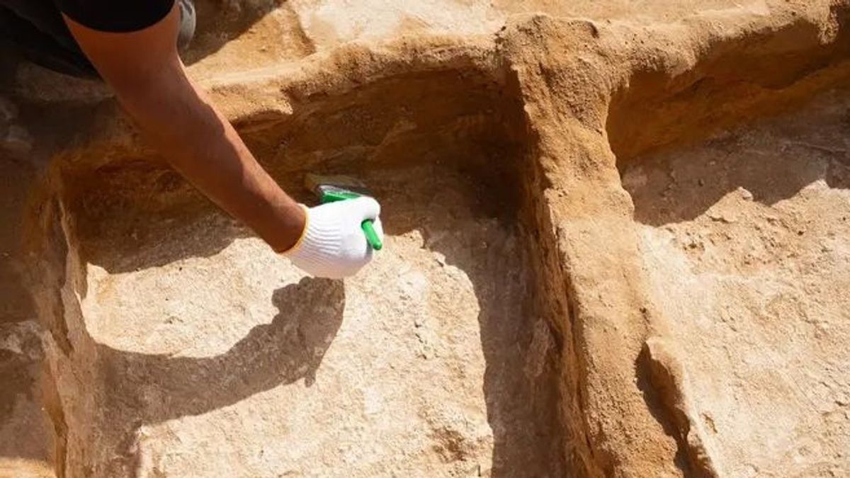
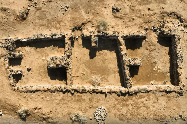
Discoveries: A number of architectural features were uncovered, consisting of 18 architectural units of varying sizes, including rooms and corridors. In addition, a large number of movable archaeological finds were found, most notably a stone weight inscribed with its measurement in the Jazm script, "Ratl," dating back to the first or second century AH.
Ornamental tools, including a part of a metal bracelet, a number of beads of various shapes and colors, in addition to fragments of vessels made of glazed pottery, plain pottery, and soapstone, along with a group of glass bottle fragments and stone tools including grinding mills and pestles.
Archaeological evidence indicates that settlement in Hilyat dates back to the first century AH, and may extend into the second century AH.
Original source: Al-Jazirah

Comments (0)
Be the first to comment.