Today's Weather Forecast: Thunderstorms and Winds in 3 Regions...
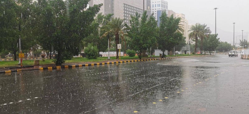
The National Center of Meteorology expected in its report on today's weather – God willing – the continuation of moderate to heavy thunderstorms accompanied by hail showers and active winds in parts of Jazan and Asir regions, extending to the southern parts of Al-Baha region, while the chance is ripe for light rain in the southern parts of the Eastern Region. The impact of active winds stirring dust and sand continues in parts of those areas, as well as in parts of the Eastern, Riyadh, Al-Madinah, and Tabuk regions, and the coastal road from Jeddah to Jazan. Temperatures remain high in parts of the Eastern and Riyadh regions. The report indicated that surface winds over the Red Sea will be northwesterly to westerly at 20–45 km/h in the northern and central parts, and northwesterly to northerly at 15–35 km/h, reaching over 50 km/h with the formation of rainy thunderclouds in the southern part. Wave height ranges from 1 to 2.5 meters in the northern and central parts, and from 0.5 to 1.5 meters, reaching over 2 meters with the formation of rainy thunderclouds in the southern part. Sea state is moderate to rough in the northern and central parts, and light to moderate, reaching rough with the formation of rainy thunderclouds in the southern part. In the Arabian Gulf, surface winds will be northwesterly to northerly in the northern and central parts, and easterly to northeasterly in the southern part, at 10–30 km/h, with wave height from 0.5 to 1.5 meters, and sea state light to moderate.
Original source: Al-Mowaten





Comments (0)
Be the first to comment.